We help conservation projects collect, understand and share their wildlife data, so everyone can engage with the science and with nature.
From a single pond to a rewilding estate, we combine field methods with our WildMap platform to turn observations into clear, shareable insight.
Deployment, triage and species identification for trail camera photos and video.
Passive recorders for birds and bats, with automated identification and verification.
Repeat photos from the same spot to show how habitats change over months and years.
Aerial surveys that reveal change across entire territories and sites.
Bird transects, point counts, pond, hedgerow, soil and UK Habitat surveys.
Maps, dashboards and direct connections to QGIS and Excel for your team.
A few of the projects where our monitoring and data have helped tell the story.
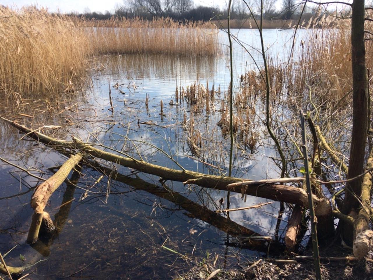
Camera traps, fixed point photography and drone surveys recording how beavers reshape Willington Wetlands.
Following tagged storks on their migrations.
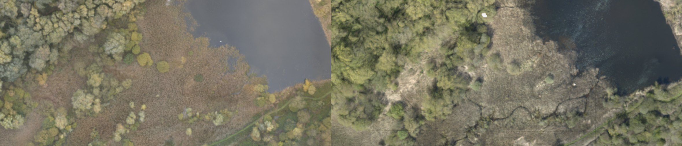
Birds, bats, ponds and habitats across a landscape-scale project.
We're passionate about nature, and about data that tells nature's story.
We spend our time helping you use your data to engage everyone in science and nature.

Whether you're monitoring beavers, birds or a whole landscape, we'd love to hear about your project.